Lidar
LiDAR, which stands for Light Detection and Ranging, is a remote sensing method that uses light in the form of a pulsed laser to measure ranges (variable distances) to the Earth. These light pulses—combined with other data recorded by the airborne system — generate precise, three-dimensional information about the shape of the Earth and its surface characteristics
Aerial LiDAR
LiDAR is used in conjunction with our other service to provide 3D Modelling, Slope Analysis & Landslide Susceptibility, Terrain/ Volume Reports and drainage analysis.
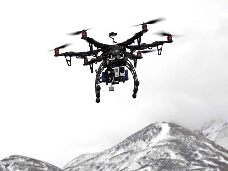
- Aerial LiDAR surveys can be conducted by helicopter, fixed wing or UAV platform
- LiDAR data can provide accuracy down to the millimeter
- Precise generation of three-dimensional information

